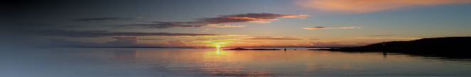
Statistics for Leverburgh and Harris
Latitude: |
57 46 N |
Longitude: |
007 01 W |
National Grid Reference: |
NG 019 867 |
Resident Population 1981 to 2001
Area |
Total 1991 |
Change 1981 - 1991 |
% Change 1981 - 1991 |
Harris |
2,222 |
-267 |
-11% |
Total 2001 |
Change 1991 - 2001 |
% Change 1991 - 2001 |
1,984 |
-238 |
-11% |
Population Change 1901 to 2001
Parish |
1901 |
1911 |
1921 |
1931 |
1951 |
1961 |
1971 |
1981 |
1991 |
2001 |
% Change 1901 to 2001 |
Harris |
5271 |
5449 |
5276 |
4468 |
3991 |
3284 |
2885 |
2780 |
2418 |
2,120 |
-59.8% |
Resident Population 1981 to 1991
Statistical Area |
1981 |
1991 |
% Change 1981 - 1991 |
Northton to Rodel |
449 |
425 |
-5.3 |
for more statistical information click here
Emigrants
List of Emigrants from South Harris assisted by the HIGHLAND & ISLAND
EMIGRATION SOCIETY
Councillors
Council ward Harris West is now covered by three council members- Council member, Mrs Morag Munro, Miss Catherine MacDonald and Mr Philip McLean - for more information on councillors visit the council website
 Top of page Top of page |
Roneval is the name given to a mountain located in Leverburgh.
Rising to a height of 460m (1509 feet), it was at the centre
of the longest public planning enquiry ever held in Scotland, more details... |